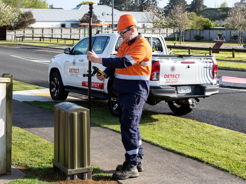
Detect Services can assist you map out utilities with GPS
Detect Services can assist you map out utilities with GPS and AutoCAD plans to keep a record of your assets.
GPS
We can record the position of any utility or assets using our GPS which then can be transferred to your mapping system.
AutoCAD
We are able to supply an AutoCAD drawing for reports or just keeping a record of a utility or assets giving you measurements off reference points so you know exactly where your utility or assets are in the future.

Contact Us Today
For a no-obligation free estimate, contact our team.